No Warnings, Watches, or Advisories

Regional Radar Regional Radar
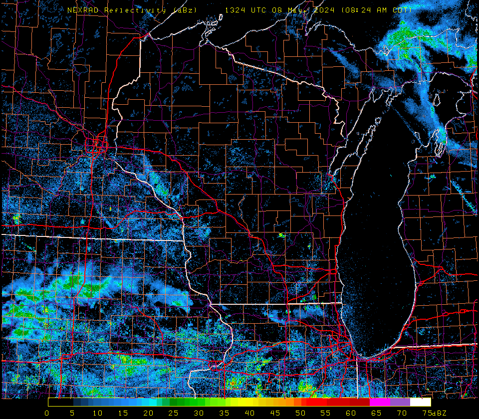
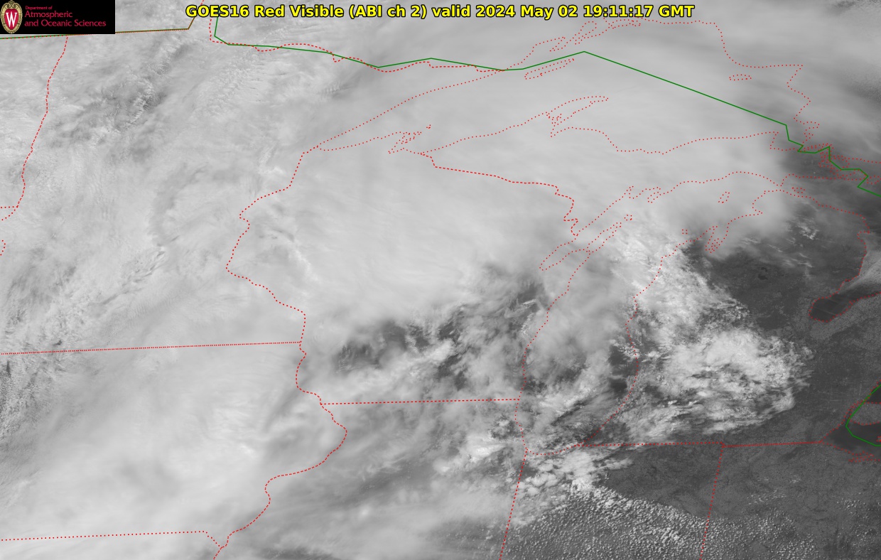
Radar/Satellite images courtesy of UW-Madison SSEC/AOS.
spacer
Updated: @ Oct-18-2025 1:12am  
Summary / Temperature Wind Rain Outlook
Mostly cloudy Mostly cloudy
Currently: 62.6, Max: 67.4, Min: 62.6 62.6°F
Colder 3.2°F than last hour.

Comfortable

Feels like: 63°F

24-hr difference
5.3°FWarmer 5.3°F than yesterday at this time.
  Today Yesterday
High: 67.4°F
12:00am
77.4°F
2:43pm
Low: 62.6°F
1:11am
56.8°F
1:46am
 Wind from S S
2
Gust:
6 mph
1 Bft - Light air
Today: 12 mph 12:06am
Rain Today: 0.07 in
Rain Rate (/hr): 0 in
Rain Yesterday: 0 in
Storm Rain: 0.18 in
This Month: 0.35 in
Season Total: 32.45 in
0 day since last rain.
Saturday

Saturday: Isolated Rain Showers then Mostly Sunny
Isolated Rain Showers then Mostly Sunny
Humidity & Barometer Almanac Moon
Humidity: 90 % Increased 9.0% since last hour.
Dew Point: 59.6°F Decreased 0.2°F since last hour.
Barometer: 29.65 inHg Falling 0.03  inHg/hr
Baro Trend: Falling Slowly
Sunrise: 7:14am
Sunset: 6:09pm
Moonrise: 4:20am
Moonset: 4:55pm
Waning Crescent
Waning Crescent, Moon at 25 days in cycle
10%
Illuminated
UV Index Forecast UV Index Forecast
Oct-18-2025
3.2     Medium 
Oct-19-2025
2.8     Low 
 NWS Weather Forecast  - Outlook: Overnight & Saturday
Overnight

Overnight: Chance Showers And Thunderstorms
Chance Showers And T-Storms

Lo 59 °F
NWS forecast: A chance of showers and thunderstorms. Mostly cloudy, with a low around 59. Southwest wind 5 to 10 mph. Chance of precipitation is 70%. New rainfall amounts less than a tenth of an inch possible.
Davis VP+ forecast: Mostly clear and cooler.
 
Saturday

Saturday: Isolated Rain Showers then Mostly Sunny
Isolated Rain Showers then Mostly Sunny

Hi 74 °F
NWS forecast: Isolated rain showers before 7am. Mostly sunny, with a high near 74. Southwest wind 5 to 10 mph. Chance of precipitation is 20%. New rainfall amounts less than a tenth of an inch possible.